Spatial Monitoring and Reporting Tool
Collect, measure and evaluate data to improve the effectiveness of wildlife conservation

SMART (Spatial Monitoring and Reporting Tool) is a versatile platform designed to enhance wildlife conservation efforts by standardizing and streamlining data collection, analysis, and reporting.
The platform offers a set of software tools that help conservationists manage and protect wildlife and natural habitats more effectively. By transforming raw data into actionable insights, SMART enables conservationists to make informed decisions that improve the effectiveness of their operations, thereby ensuring the survival of the Earth’s biodiversity.
Key Features of SMART Conservation Software
- Easy to Use and Scalable: Suitable for a wide variety of conservation contexts, both terrestrial and marine.
- Freely Available and Open Source: Accessible to all, ensuring wide adoption without proprietary constraints.
- Operates in Connected and Disconnected Environments: Effective even in remote areas without internet access.
- Secure and Private: Adheres to strict standards of data privacy and security, respecting ownership of collected data.
- Customizable: Can be tailored to meet the specific needs of various conservation sites.
- Integrated with Other Tools: Compatible with other platforms to enhance conservation efforts.
- Supported by a Global Network: Backed by a long-term alliance of leading conservation organizations.
Technology Overview
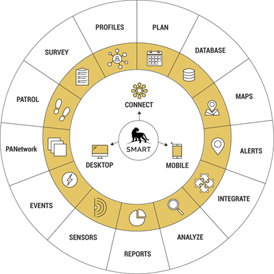
SMART is a comprehensive conservation management platform, consisting of mobile, desktop, and cloud-based components. It allows users to collect, visualize, analyze, and act on a wide range of data critical to wildlife protection and conservation management. By facilitating the transformation of data into usable information, SMART helps managers allocate resources more effectively and improve overall conservation impact.
SMART Tools
SMART offers a range of tools that cater to various aspects of conservation management:
- SMART Desktop: A flexible, user-friendly database with powerful analytical capabilities.
- SMART Mobile/Collect: Leading mobile data collection tools that allow field practitioners to record and report data in real time.
- SMART Connect: A web-based component that enables users to store and manage data on a cloud-connected database.
- SMART Survey: A plugin that helps manage ecological surveys by organizing and mapping ecological data.
- SMART Profiles: A versatile tool for tracking entities and their relationships, crucial for understanding the dynamics within protected areas.
Detailed Features and Applications
Protected Area Management
SMART’s customizable structure allows users to design their own templates for managing conservation areas. Whether it’s strict protection or sustainable use, SMART can be adapted to meet the unique needs of a single site or an entire network of sites. It provides managers with rapid access to accurate data, enabling them to minimize threats and improve conservation outcomes.
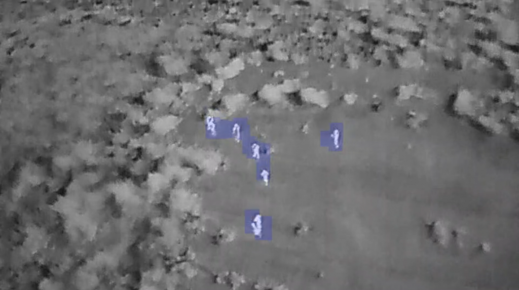
Law Enforcement Monitoring
SMART enhances the effectiveness of law enforcement in protected areas by enabling the collection, storage, and evaluation of patrol data. This functionality improves the morale of protection teams and
reduces threats to wildlife by creating a sustainable information flow between rangers and managers.
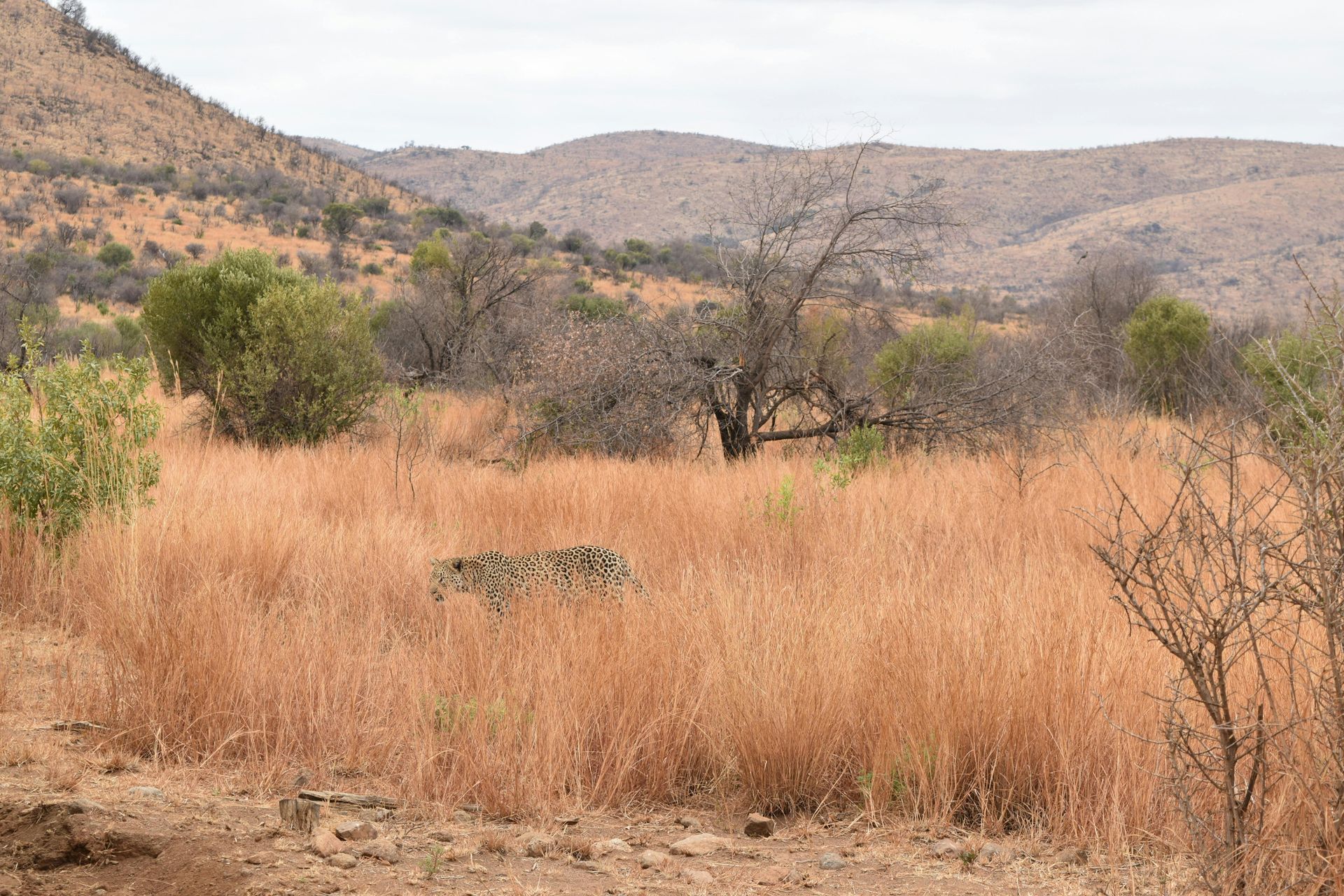
Biodiversity Monitoring
SMART’s tools support systematic surveys of species and their habitats. The collected data can be analyzed to understand changes over time and space, enabling better management strategies. The SMART Survey plugin streamlines the collection of ecological data, making it easy to organize and export for further analysis.
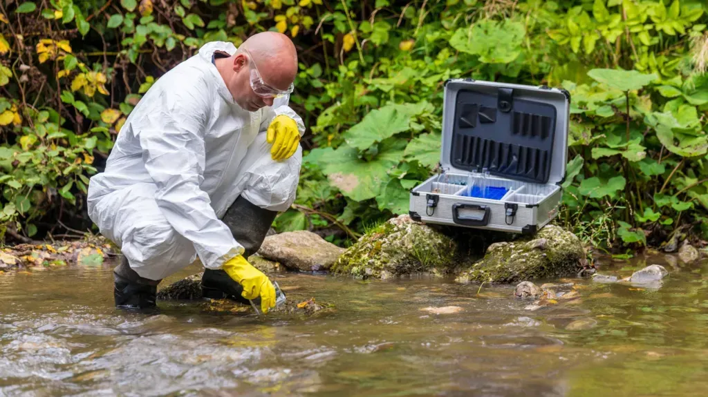
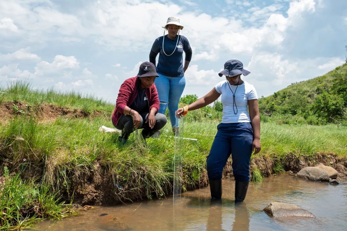
Citizen Science
SMART Collect facilitates decentralized data collection, such as citizen science and community reporting projects. This version of SMART Mobile can be downloaded on personal devices, allowing a wide range of users to contribute to conservation efforts. Use cases include reporting illegal fishing, human-wildlife conflicts, and wildlife crime.
Intelligence Gathering
SMART Profiles provides the ability to track individual entities, whether they are animals, vehicles, or people. This tool captures relationships and interactions between entities, which is vital for managing complex scenarios like human-wildlife conflict, park entry monitoring, and outreach programs in neighboring communities.
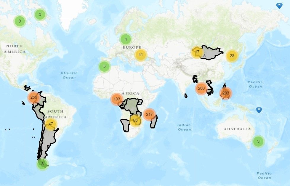
SMART Conservation Software is used in over 1,100 sites across 95 countries, supporting a wide range of conservation management activities. Its flexible, secure, and scalable platform is designed to meet the evolving needs of conservationists, helping them protect wildlife and natural habitats more effectively.
About SMART
Protected areas are the cornerstone of nature conservation. Despite their vital role in the prevention of species extinctions, protected areas continue to be poorly resourced and managed, with less than a quarter providing effective protection.
In an effort to make protected areas more successful at preventing the loss of nature, in 2011 nine leading conversation organizations joined forces to create the SMART partnership. The response to the unprecedented loss of wildlife, in alignment with global policies and scientific priorities, is to support the management of conservation areas providing refuge and a safe haven to threatened fauna and flora.
SMART Partnership
The SMART Partnership is a groundbreaking collaborative effort, unlike any other currently in the conservation realm. It is through the global reach of the Partnership that they have achieved rapid, scalable, successful adoption of SMART.
They have secured longstanding sustainability of SMART through the commitment of eight global conservation agencies to our long-term support.
All information, images and videos sourced from
https://smartconservationtools.org/

Share this article
Quicklinks